


Despite the recent severe flood events in Hawke’s Bay and Auckland, we continue to develop new buildings and infrastructure within hazard-prone areas. In the Waikato region between 2012 and 2019, for example, approximately 132,000 new buildings were constructed in areas exposed to region-scale flood hazards, tsunami inundation, landslides or sea-level-rise – many of them within new housing subdivisions in at-risk places like Thames, Tairua, Whangamatā and Ngātea.
Climate change challenges to urban development
While our understanding of the changing nature of hazards is improving, influencing urban development is challenging, especially considering ongoing climate change.
Previous methods of modelling future risk from natural hazards or climate change often overlaid future climate projections onto existing land-use patterns. However, urban land use is constantly changing as population, market and transport trends prompt developers to subdivide peri-urban land or redevelop existing urban areas.
With the ongoing housing crisis in Aotearoa New Zealand, there is also significant pressure on central and local government to allow more residential development by deregulating or fast-tracking urban development. To better understand and manage future changes in hazard risk profiles, we need to capture this changing process of land use and development.
With the support of EQC Toka Tū Ake, we are developing a state-of-the-art agent-based model of housing development for Aotearoa to understand how hazard maps or policies may affect decision making by developers.
The model will consider the diverse parties involved in the development process – primarily general developers and iwi developers but also planners, consultants, banks, builders and real estate agents – as individual agents with unique strategies and sets of characteristics.
Changes in the development sector
An agent-based model is useful as developers have different sizes and development specialities, and each may have different rationalities and behaviours that influence their decisions. For example, some developers specialise in high-rise apartment buildings while others offer house and land packages in large greenfield subdivisions.
While a small commercial developer might reject a site for offering no short-term economic return, iwi may instead focus on papakāinga and consider it a long-term investment for their community’s wellbeing.
It is the individual characteristics of these agents with their unique values and interconnections with one another and planning policies that determine where, when and how development occurs.
For example, development typically begins with the purchase of land by a developer. The location, physical character, size, estate type and ownership of land are the key determinants of its development potential.
Fragmentation of land ownership into small holdings often hinders development by making it very difficult for a single developer to acquire a continuous block for development.
Next, the developer must assemble the necessary inputs – the finance, design, engineering and consenting required to successfully develop the site. Finally, the development is either put to market and sold or occupied by whoever it was developed for.
Market signals about supply and demand such as land price, availability and average house price inform where development is occurring along with development types, sizes and frequency.
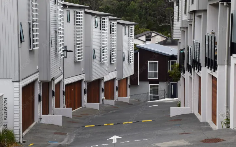
Over the past two centuries, many New Zealanders preferred to live in detached single-family houses – the ‘quarter-acre Kiwi dream’. However, as land and house prices increased, planning rules changed and the population became more diverse, developers responded by diversifying their housing offerings.
Notably, in 2022, more townhouses were consented than stand-alone homes for the first time. In 2023, more than 70% of new dwellings in Auckland were apartments, townhouses or units.
Increasing involvement by Māori
In parallel, there is a rise in property development by tangata whenua in Aotearoa. Currently, developments of different scales are occurring at the iwi, hapū and whānau level.
In contrast to other developers, Māori property developers have a different rationale towards development informed by te ao Māori. The colonial and urbanisation history of Aotearoa has disadvantaged and marginalised Māori and their ability to participate in the establishment of our cities.
Significantly, the Resource Management Act 1991 introduced provisions for Māori in recognition of te Tiriti o Waitangi. Through the planning process, tangata whenua can influence significant outcomes within a region or district based on whakapapa and occupation.
Māori are becoming formidable forces within urban development by leading both large-scale and small-scale developments and becoming important developers in cities around the country.
Post-settlement governance entities and settled iwi tend to partake in large-scale developments. For example, Waikato-Tainui have contributed significantly to the development of Kirikiriroa Hamilton, including commercial and retail development such as Te Awa @ The Base and the Ruakura Superhub development.
In parallel, there have been papakāinga developments all around Aotearoa – these are a traditional way of living for Māori that can be defined as communal living on ancestral land and generally includes more than one dwelling that can support whānau. They are usually facilitated by rūnanga (councils), Māori land incorporations/trusts or general title with Māori landowners.
Outcomes of the project
The agent-based model will focus on analysing the individual motivations and values of the different actors and explore the influence of restrictions imposed on them by the market, government regulations or industry norms.
Rather than talk about the development sector as a homogeneous mass, the model emphasises that these rules, agency and values are contextualised differently in a Western and ao Māori development framework.
The model will have a wide range of applications. It will provide a different perspective on how policies such as new risk policies will change developers’ behaviour and, by extension, future exposure of development and people to natural hazards.
Planners will be able to input different future policy settings to create alternative future land-use scenarios, allowing them to test how a change in development policy might increase or decrease natural hazard risk by better understanding its effect on developer behaviour.
These policy changes will then inform the ways in which insurers, developers and iwi will think about future hazards and risks in the planning of future developments, enabling them to make more resilient planning decisions.
Ultimately, the aim is to add another dimension to the way policy makers, planners, iwi, developers and the public think about the future. Just as natural hazards will change over time, so will land use and the ways in which we plan for and build our future homes.